 The National Weather Service confirmed Saturday October 20, 2007 that it was in fact a tornado, not straight line winds, that hit the New Washington area Thursday night October 18, 2007 when storms rolled through the area.
The weather service’s staff surveyed northern Clark County both Friday and Saturday and classified the tornado as low EF-3 on the Enhanced Fujita scale, indicating that winds were between 136 and 165 miles per hour. The storm took roofs off of a few houses and tree damage was widely reported. By Saturday, the weather service was still investigating other possible tornados in the region. So far, six tornados have been confirmed in Indiana and Kentucky with the storm outbreak. Clark County’s was the strongest in the region.
Louisville Kentucky NWS confirmed tornadoes from October 18, 2007
(Click the links below for detailed information on each tornado event)
Click Here for Details on the Enhanced Fujita (EF) Tornado Rating Scale
Breckinridge County, Kentucky:
Clark County, Indiana: EF-3
Northern Bullitt County, KY (2 Miles North of Shepherdsville)
Hancock County Kentucky & Perry County Indiana
Jefferson County, KY (Louisville Metro Area)Paducah, Kentucky NWS reports -
Two rounds of severe weather occurred on Thursday
The first round of severe weather occurred during the early morning hours on Thursday, mainly between midnight and 5 A.M. Wind damage was quite common across parts of southern Illinois and southeast Missouri overnight. The primary corridor of wind damage extended from the Poplar Bluff area northeast across Benton Illinois. Most of the damage was tree damage. Some minor structural damage and windows blown out were reported. A preliminary summary of local storm reports follows at the end of this statement.
A second severe weather outbreak occurred during the afternoon and evening hours on Thursday. The Paducah National Weather Service office issued over 130 warnings during the 24 hours ending at 10 P.M. Thursday. Numerous supercells occurred on Thursday afternoon and evening. A number of these supercells were associated with damage. The National Weather Service office in Paducah is conducting ground surveys today to obtain a better assessment of the type and extent of the damage that occurred Thursday afternoon and evening.
Grand Rapids Michigan NWS confirms EF2 in Williamston
Williamston tornado rated EF-2
AN NWS SURVEY WAS CONDUCTED IN INGHAM COUNTY FOLLOWING THE TORNADO
THAT OCCURRED ON THE NIGHT OF OCTOBER 18TH. BASED ON EXTENSIVE
DAMAGE TO BUILDINGS AND TREES THE TORNADO WAS RATED EF-2 WITH TOP
WINDS ESTIMATED BETWEEN 120 AND 130 MPH.


FEMA Situation Report
Tornado Activity
Missouri
A line of severe storms moved across Missouri Wednesday afternoon and evening causing heavy rains, damaging winds and tornadoes. According to the Missouri Emergency Management Agency (EMA), in Monroe County two people were killed when high winds struck a mobile home six miles northeast of Paris, MO. The National Weather Service confirmed an F2 tornado in Paris. The Missouri EMA has received no requests for assistance.
Florida
On Thursday, October 18, 2007, several Tornados touched down in downtown Pensacola, FL. According to local media sources, the storm ripped roofs off buildings, snapped trees and downed power lines. Florida Emergency Operations have confirmed in Escambia County, FL that four houses have been destroyed, 24 houses received major damage, 58 houses received minor damage, and 2700 customers in Escambia County are without power. There are no reports of injuries. A shelter was opened at 2:00 p.m. CDT, coordinated by the American Red Cross (ARC). ARC reported that eight people are being sheltered at this time. Food will be provided for up to 1,000 people. The storms caused forecasters to issue several severe weather warnings, including more tornado warnings. The severe weather was expected to clear out of the area Friday. (Florida Emergency Operations Center, Media Sources)
Storm Chaser Dan Robinson of Storm Highway has a excellent photo record of the October 18, 2007 Fall tornado outbreak in Kentucky/Indiana.
Wall Cloud Owensboro, Kentucky
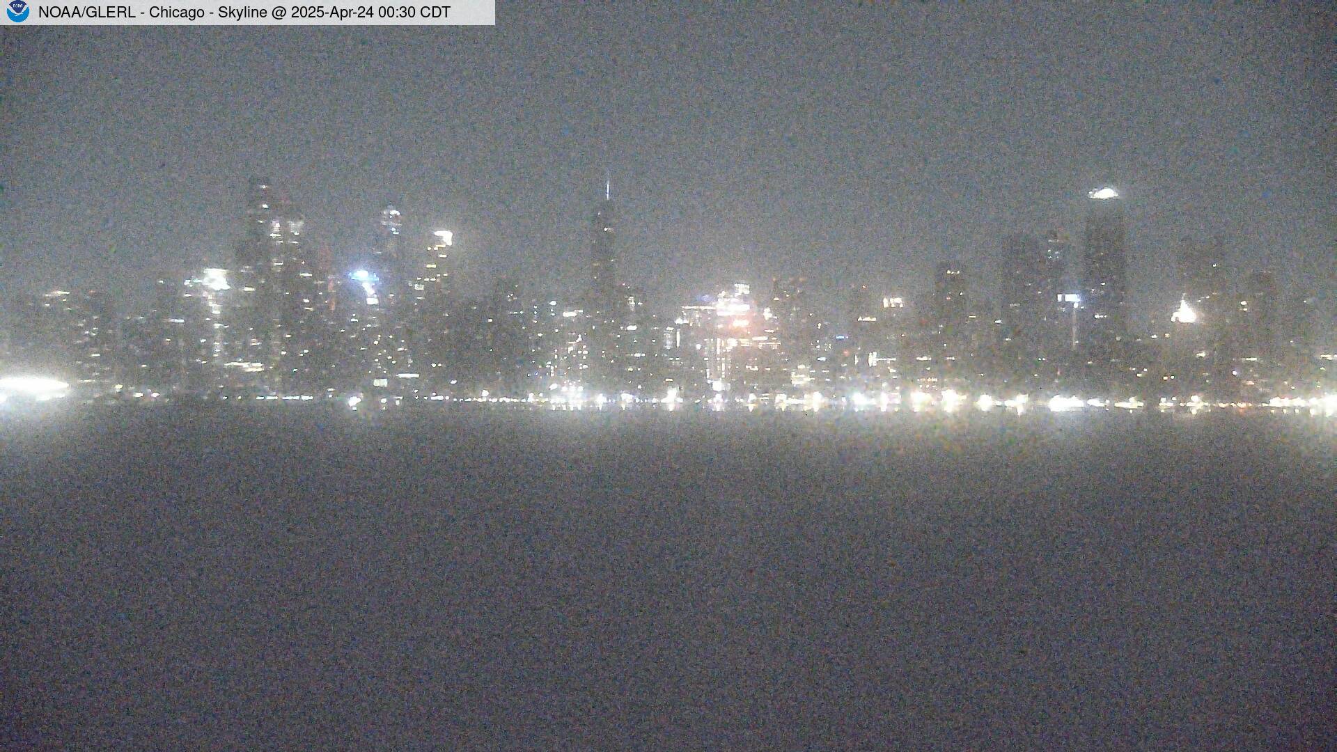
And of Course Rain and Hail in Chicago!
RS




























![Validate my RSS feed [Valid RSS]](valid-rss.png)