According to the Department of Commerce, 42 percent of our gross domestic product is in sectors that are affected by severe weather and climate. Bad weather, or badly forecast weather, means far more than cancelled plans and personal inconvenience. The impact of the weather on our economy, safety, and environment can be severe both through extreme events (hurricanes, tornadoes, floods, drought, etc.) and just day-to-day fluctuations. In the U.S., estimates of average annual damage ($16 billion) and loss of life (1,500) are significant and impact every state. According to the Department of Commerce, 42 percent of our gross domestic product is in sectors that are affected by severe weather and climate. Conversely, good information about weather and climate can be used effectively to enhance economic activities and improve quality of life.
Researchers in NCAR's Mesoscale and Microscale Meteorology Division of the Earth and Sun Systems Laboratory, and in the Research Applications Laboratory, strive to understand the physical processes and genesis of such extreme weather, in order to protect human lives and property.
Studying Severe Storms
 Thunderstorms
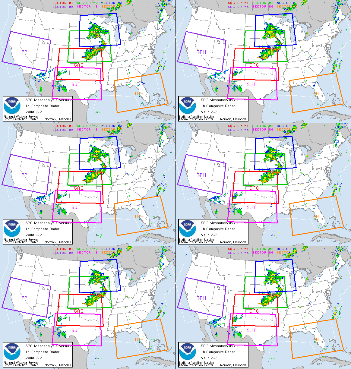
 More than 1,000 thunderstorms rage across Earth's surface at any moment. They bring beneficial rains, but thunderstorms can also spawn lightning, tornadoes, hail, and flash floods. NCAR scientists and their collaborators pry into the heart of thunderstorms using aircraft, balloons, mobile radars, and computer models.
 Hail
Hail The pelting chunks of ice known as hail can ruin vehicles and slice plants to ribbons in minutes. Only a few Americans have been killed by hail in recent decades, but a number are injured each year. NCAR researchers have analyzed some of the biggest hailstones on Earth and developed radar-based techniques for spotting hail.
 Lightning
 Using sophisticated instruments that can track lightning bolts and the electric fields that trigger them, NCAR scientists have learned much about these spectacular, deadly products of thunderstorms.
 Tornadoes
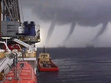
 More than 1,000 twisters touch down in the United States in a typical year. However, U.S. death and injury tolls have dropped considerably in recent decades due to better warnings. NCAR has joined colleagues to delve into the processes that drive tornado formation and evolution.
 Floods
 The powerful and deadly force of flash floods is an underrated risk. Even though the U.S. population has nearly doubled since 1950, the death toll from most weather hazards has dropped by half or more, while the flooding toll has risen slightly. NCAR's precipitation research touches on many aspects of the flood threat.
 Hurricanes and Typhoons
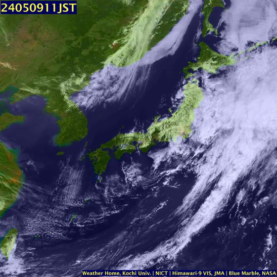
 Tropical cyclones with winds at or above 74 miles per hour (119 kilometers per hour) are called hurricanes in the Atlantic and northeast Pacific, and typhoons in the western Pacific. Sensors and computer models developed at NCAR help track and predict these tropical tempests more accurately than ever.
 Winter Storms
 Large, complex weather systems can dump snow on one city, coat another with ice, and drench others in rain. These storms are shaped by weather elements that extend from the tropics to the poles and from ground level to the heights where aircraft cruise. NCAR is studying the mechanisms behind our worst winter storms.
The First Tornado Forecast
Before a man in the Signal Corps named John Park Finley came along, the tornadoes that occurred on the American Plains were considered to be unforecastable. Finley was allowed to investigate the destructive storms by his superiors. He was assigned to the Weather Research Unit in Washington, D.C.
Finley had studied the atmospheric parameters that were present during previous tornadoes. In 1884, he published his research in the journal Science. Here are those parameters, published in a 1999 Weather & Forecasting article.
1. there is a definite relation between the position of tornado regions and the region of high contrasts in temperature, the former lying to the south and east;
2. there is a similar definite relation of position of tornado regions and the region of high contrasts in dewpoint, the former being, as before, to the south and east;
3. the position of tornado regions is to the south and east of the region of high contrasts of cool northerly and warm southerly winds—a rule that seems to follow from the preceding and is of use when observations of temperature and dewpoint are not accessible;
4. the relation of tornado regions to the movement of upper and lower clouds has been studied and good results are still hoped for;
5. the study of the relation of tornado regions to the form of barometric depressions seems to show that tornadoes are more frequent when the major axis of the barometric troughs trends north and south, or northeast and southwest, than when it trends east and west.
On this date (March 10) in 1884, Finley issued the first experimental tornado prediction, utilizing the parameters. As you can see, they are still accurate and largely in use today. The use of the word “tornado” in forecasts would be banned a few years later. That ban would remain in place until 1952.
High winds fail to halt Riverdance ferry bid
By Rob Stocks
See more information on The Riverdance
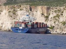
Hopes are high she can be returned to an upright position this week, despite nightmare weather being predicted today.
View our Shipwreck online special
See The Riverdance webcam
See our Riverdance picture gallery - updated daily
There are severe weather warnings for some parts of the west coast today coupled with a spring tide in excess of nine metres.
But officials from the Coastguard Agency believe they will not cause any worsening in the Riverdance's 90 degree list.
Flotation tanks are now clearly visible on one side of the ferry.
A spokeswoman said: "We are keeping a close eye on the situation at Blackpool.
"Obviously there are going to be some high tides and strong winds.
"We do not however believe that will pose any further problems for the Riverdance. She should not move any further.
"The timetable is still in place for attempts to bring her upright on Thursday."
Despite some reports the Riverdance would be cut up on the sands at Anchorsholme, coastguards and salvage team members are still hopeful she can be towed off in one piece.
A spokeswoman for the coastguard said: "Work on the salvage efforts in going well.
"All the welding onboard is complete.
"It is still the plan to tow her off the sands and the salvage team are confident that can happen."
Met Office officials are expecting the worst of the storms to miss Blackpool, but predict a 20 per cent chance of disruption in North West England as a result of the weather.
People are being urged to stay away from the sea front as strong winds coupled with a high tide could make the area dangerous.
The winds are due to ease across the UK by early on Tuesday.
RS















![Validate my RSS feed [Valid RSS]](valid-rss.png)