 Ok I am really not interested in politics though its my belief that its time for a real change in the US Congress and the White House. But the hoopla on Bill Proenza the Director of the National Hurricane Center (NHC) is now getting to me. This blog was created for discussions on weather both on land and on the sea. Not the stupidity of bureaucrats and the politics of government. However I am going to kick myself and way in on this subject.
Bill Proenza replaced Max Mayfield this past January. Proenza has a very long history with NASA and NWS in forecasting weather. Let's face facts, Proenza did not get the position of Director of the National Hurricane Center because he did not know what he was doing, politics and Mike Brown aside. The man is qualified for the position. Furthermore, Proenza has a very different management style over his predecessors, he is very much hands. Whereas, the others were very "hands off" and allowed scientists to run with the football. Proenza likes to be not just the quarterback but the offensive and defensive coach as well. Proenza does not seem to play the games, meaning, "keep the complaints in the back room" that his predecessors did. He is very vocal. The heat seems to have started with his statements to the press about NOAA Wasting Millions and then his shot at the failing of the primary communications of the ten year old weather satellite QuikScat.
Last "Thursday, 23 employees - about half his staff - urged the government to removed him immediately". Ok, so half his staff does not like him. What about the other half? They don't count? Yes 99.7% of the staff are professionals and want to do the best they can. I also know that scientists do not take change easily, especially if someone is holding the reins on them. I am not going to start hammering other blogs for jumping one way or the other. We all enjoy free speech and opinion. However I do believe we need to read in between the lines here.
Ok, so we have a new chief, one who has a very different management style, who is very hands on and who is outspoken. So Proenza is upset that Commerce and NOAA spent about 100 Million on PR instead of technology. Well now, that seems to be a problem! Then he spouts off to the press about QuickScat a ten year old weather satellite losing its primary communication and the NHC needing to rely on its back up systems. NOAA spouts back with the press refuting Proenza and basically stating "NO PROBLEM" we got it covered and we will have another and better satellite airborne sometime around 2012. Really? QuickScat was a replacement for another failed satellite, ten years ago and NOAA and Commerce knew ten years ago that QuickScat was not designed for the long term. Ok now, my question. Where in Hurricane Heaven has Commerce and NOAA been for the last ten years? Oh yeah I forgot spending 100 million dollars of taxpayers money on public relations and parties.
Now enters part of the staff, who's complaints include that Proenza is undermining the public trust. By basically, opening his mouth in public and mis-representing facts about the QuickScat Satellite. Like the public does not question the NWS and some weather forecasters on a daily basis as it is now? Funny no mention of NOAA and Commerce blowing 100 Mil eh? Oh thats right, there were super secret, top level, hush-hush-mush-mush, behind closed door meetings with the staff to resolve some important issues! Yep, lets keep the public in the eye of the storm and not tell them that the other side of the storm is about to hit them.
Personally, it does not matter to me what Proenza claims about QuikScat or not. The fact is that the satellite was designed for a life span of ten years to replace another broken bird. The fact is that NOAA and Commerce knew this and have been playing the budget game and spending like drunken sailors. The fact is that some of the staff, according to press reports, seem to like not just the behind the scenes game, rather than being up front with the public. But they don't like hands on people either. What the heck its only our money that all sides are playing with.
So here is my final and only political posting reply. Bill Proenza resigned yesterday as Director and has been temporarily re-assigned. "Temporarily re-assigned"? Ed Rappaport the Deputy Director has been temporarily selected as the new acting Chief. The kinder, gentler chief, I suppose.
Now lets really get down to the facts and have the Office of Inspector General for the US Commerce Department look into all of this and see who is really at fault for here for what? Like I said, what the heck its only our money and I will add, our lives!
Other than that, its time to stop the nonsense now that NOAA, Commerce and "some" of the staff have their boy in slot and get back to work before we have another Katrina and Rita hit the US and NOAA mimic FEMA.
One last thing, who is steering the Congressional Oversight Committee on Commerce? There are some things just as important as, Paris Hilton, Scooter (Convicted) Libby, putting up or not puting up (Berlin) walls along our southern boarder and giving illegal folks a free American pass.
Sheesh, sometimes praying for a hurricane to strike so that everyone can focus on something important sounds like a better deal...
On the Illinois weather side;
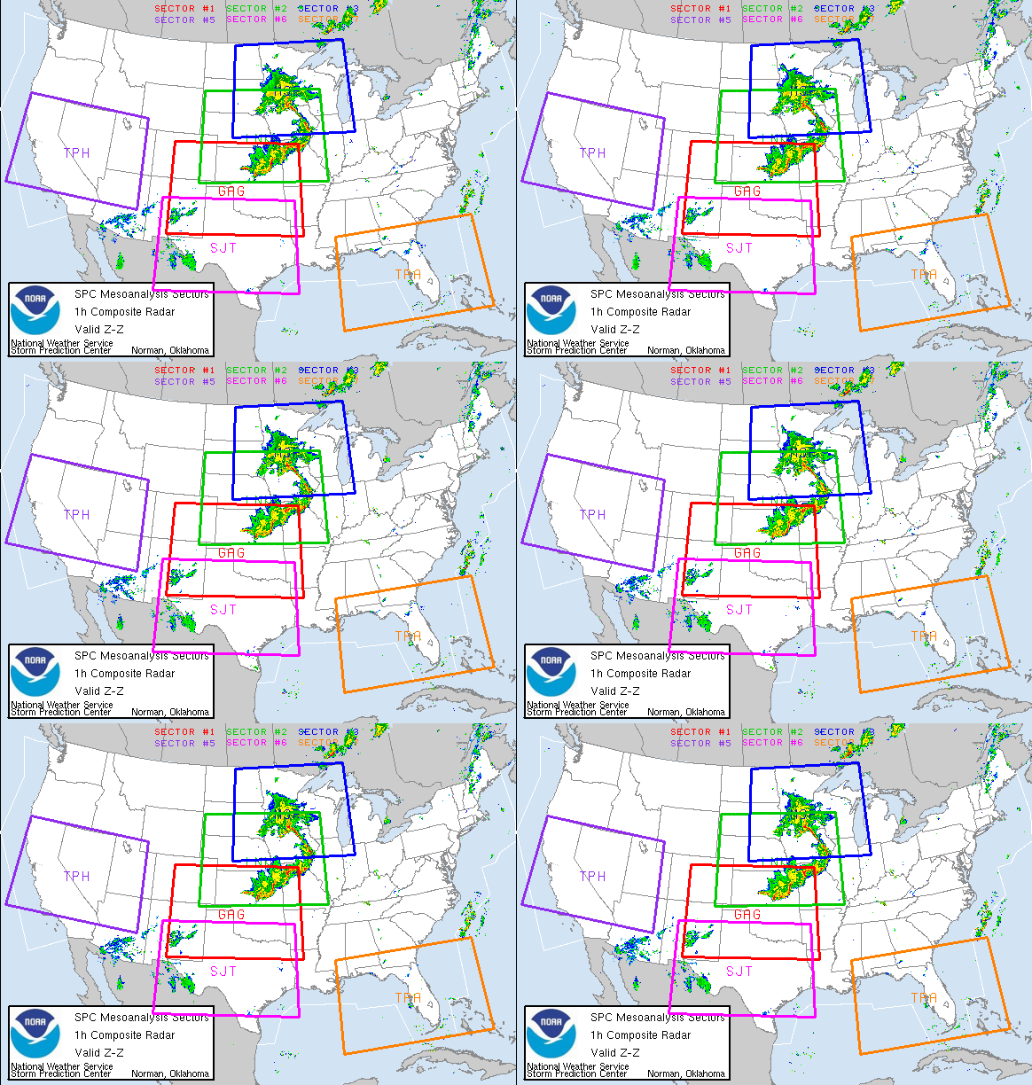
Thunderstorms, raced acrossed parts of northern Illinois yesterday some more than 10 miles high, and exploded after a weeks of hot, muggy weather. The powerful storms had gusts that reached a reported 57 mph at Kenosha, 60 mph, south of Algonquin and 50 mph at Romeoville. Parts of McHenry County were drenched by 3” of rain. Moreover, DeKalb County was hit with 50+ m.p.h. gusts, 3/4-inch hail and then a cloudburst which hammered as much as 4.25” of rain. The down pour closed roads, forced the evacuation of one Northern Illinois University dorm, left cars stranded and basements flooded. NWS reported that at the hight of the storm there were more than 2,400 cloud to ground lightning strikes in a single 10 minute period within a 240 miles radius of Chicago.
Update of the s/v Sean Seamour IIVery shortly I will be updating the continuing saga of the s/v Sean Seamour II. I have completed my review of the NHC's report on Subtropical Storm Andrea and am awaiting a response to my questions from the NHC.
RS


















![Validate my RSS feed [Valid RSS]](valid-rss.png)