
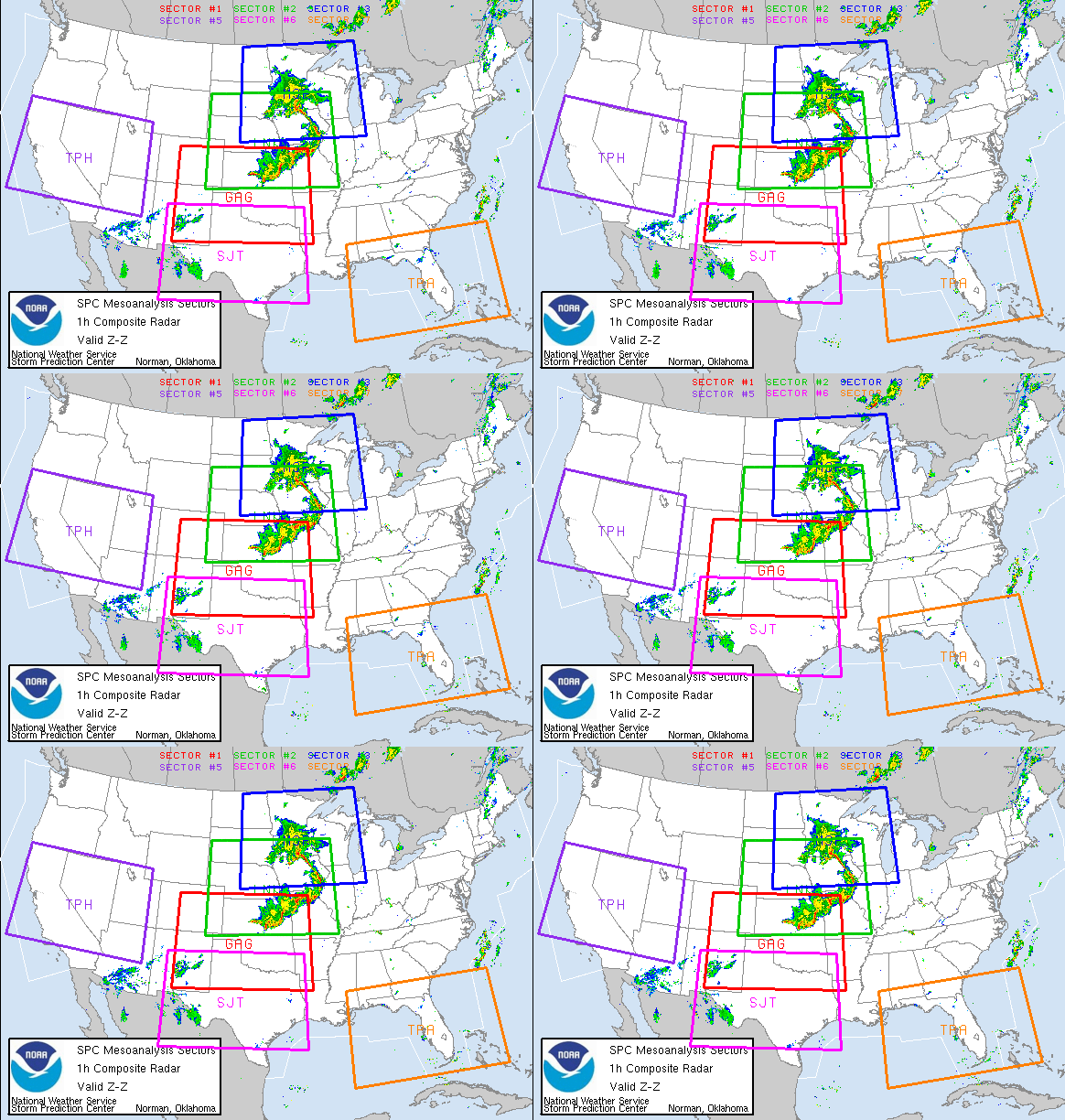
Started the day contemplating a chase, but didn’t know for sure if I would. By late morning, strong and rock hard towers were developing south of my house . Just finishing our tours, I was tired, and was headed into town to take care of some mailings. But, seeing the convection south of me, I couldn’t resist. I blasted down I-70 headed for Limon around noon. Shortly after I got on 70, NWS PUB issued a tornado warning for the area southwest of Limon, CO in northeast El Paso county. Radar was pretty clear to see the boundary with various areas of interest along it. However before I even arrived in Limon, the developing cells dissipated.
I decided to go to the Post Office and mail my packages while I was there, and when I came out around 1:30 PM MDT I noticed a rather large area of towering cumulus off to my northeast, northwest of Flagler. More rapidly growing cumulus were developing along the boundary, which was as clear as day. What bothered me was my 91/44 ob at Limon, but noticed much better moisture farther northeast. So, off I went! I headed east bound of I-70 and watched as the towers developed into two young thunderstorms.
About 10 miles west of Flager, and about 5 miles north of I-70, a small tornado developed. This tornado quickly became visible to cloud base with a fairly transparent tube of dirt. It lasted only 4 minutes from 3:14 -3:18 PM MDT. The young thunderstorm farthest west developed a flared base, cork screwed updraft and even a clear slot, so I pushed east to get on it. At 3:21 PM, another debris cloud formed and by 3: 26 PM was completely to could base where a small funnel appeared. By 3:29 PM, the tornado had a rather large pear shaped debris cloud and was simply gorgeous to watch. At 3:31, the next tornado formed just west of it under a new tower. It persisted for 4 minutes before dissipating. Meanwhile the original tornado was continuing to strengthen. At 3:34 PM, a long slender grey funnel appeared just east of the clear slot and at 3:36 PM it touched down. At 3:38 PM two tornadoes criss crossed each other and made for a wild photo op!!! At 3:41 pm the one tornado lifted, while the supercell tornado continued. At 3:45 another tornado formed west of the supercell tornado, and another tornado formed southeast. Quite a wild shot with 3 on the ground at the same time! The farthest west tornado diminished and lifted at 3:49, while the supercell tornado persisted until 3:51. The farther east tornado lifted at 3:53.
Read and see the rest on Rogers site Storm Chase.Net!RS





















![Validate my RSS feed [Valid RSS]](valid-rss.png)
No comments:
Post a Comment