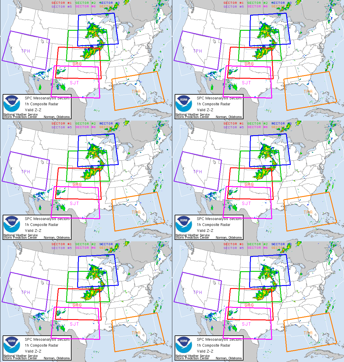
 This chart (my thanks to Jean) represents the last known positon of the s/v Sean Seamour II and what is believed to be the last known position of the s/v Flying Colours. As you will note the s/v Sean Seamour sank and the s/v Flying Colours is missing in what is known as the "Hatteras Trench" a part of the continental margin.
 According to NOAA, the continental margin is the underwater portion of a continent that extends from the shoreline to water depths of nearly 5,000 m. Continental margins are typically comprised of three regions: the shelf, slope, and rise. Each region has distinctly different characteristics, because of its distance from shore, water depth, and steepness. In the Atlantic Ocean, continental margins have a shelf that is broad and flat and reaches a depth of 100 m. The slope is the steep transitional area between the shelf and rise, and it lies between depths of 100 and 2,500 m.
The continental margin off Cape Hatteras, North Carolina (at 35° North latitude) displays the typical Atlantic Ocean shelf-slope-rise sequence. The continental margin off Cape Hatteras, North Carolina, is a classic shelf-slope-rise sequence, while most of the southeast U.S. continental margin is terrace-like, with prominent features such as the Blake Plateau, Blake Ridge, and Blake Escarpment, as well as the Charleston Bump.
Due to the depth of the trench salvage operations, unforunately is almost impossible.
The trench has a well known history for violent seas, especially during storms. The Outer Banks itself is known as the, "Graveyard of the Atlantic". Over the years, some 600 ships have met their faith in this section of the Atlantic. Much of this is due to the fact that the elbow of the Outer Banks of Cape Hatteras, lies in the path of any hurricane and or tropical storm. This elbow acts as a partition or barrier between two oceans ( the North Atlantic and the Gulf Stream), and even a deflector, causing greater storm surges and waves.
Noted ships that have sunk off of Cape Hatteras include the Iron Clad Monitor, the USCGC Bedloe and Jackson, which sank in the Great Altantic Hurricane of 1944. This hurricane wreaked havoc on Hatteras Island actually causing residents to relocate entire villages.
As David Stick writes in his book, Graveyard of the Atlantic Shipwrecks of the North Carolina Coast. "You can stand on Cape Point at Hatteras on a stormy day and watch two oceans come together in an awesome display of savage fury; for there at the Point the northbound Gulf Stream and the cold currents coming down from the Arctic run head-on into each other, tossing their spumy spray a hundred feet or better into the air and dropping sand and shells and sea life at the point of impact. Thus is formed the dreaded Diamond Shoals, its fang-like shifting sand bars pushing seaward to snare the unwary mariner. Seafaring men call it the Graveyard of the Atlantic."
For example on August 29 1999, along Cape Hatteras, the maxium wave hights caused by Category 2 Hurricane Dennis, as the storm, located approximately 150 miles offshore, battered the Cape Hatteras area for a week, where SWH's (Signifiant Wave Heights) were recorded by the US Army Corp of Engineers as high as 20.5 feet. Although the winds from Hurricane Dennis were not particularly strong, the duration of the effects of the storm on North Carolina's shoreline was remarkable.
Subtropical Storm Andrea had simular effects as she meandered offshore for a few days. But the duration of effects of the storm were felt along the southern coast. Very shortly the National Hurricane Center will be issuing a report of the damages caused by Subtropical Storm Andrea.
We await that report.
On a Illinois weather note;
There is going to be a CoCoRaHS training session held on Tuesday, June 26th at 7pm. The training session will be held at the University of Illinois Extension office in Grayslake. Here is more information about registering, etc on the CoCoRaHS Illinois page:
Tuesday, June 26, 2007 - 7:00 p.m.
University of Illinois Extension Office (Lake County)
100 South US Hwy 45
Grayslake, IL
Register in advance with the University of Illinois Extension-Rockford Center by calling 815-397-7714 or by email at churchj@uiuc.edu. Please register no later than June 22nd.
RS


![Validate my RSS feed [Valid RSS]](valid-rss.png)
No comments:
Post a Comment