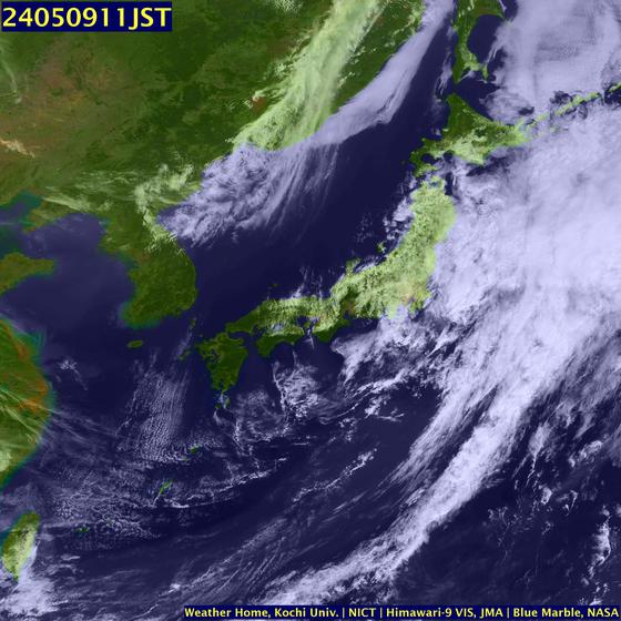
 My second and important weather story of the day. Its been quiet in the Atlantic ( with exception of the storm at the NHC) but the Pacific is blowing a wind. That storm has been designated Typhoon Man-Yi (04W).
 As of this morning, Typhoon Man-Yi (04W) was centered near 22 north and 128.5 east. Its winds were sustained at around 145 mph, and was tracking movement to the north-northwest at 15 mph, putting it at a strength very close to that of a category-4 hurricane.
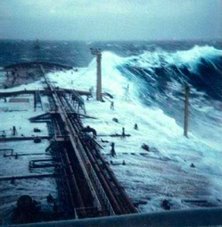
The storm has the possibility of strengthening to a super typhoon (winds above 150 mph) very briefly Thursday afternoon, just before making landfall over Okinawa in the Ryukyu Islands by tonight. Waves are expected be greater than 35 feet, while a driving rainfall and strong, dangerous winds will batter the region. Mariners need to avoid this storm and all residence of Okinawa and the general area should take precautions prior to the arrival of this dangerous storm.
Here are the details from the Joint Typhoon Warning Center Typhoon 04W (Man-Yi)
RS












![Validate my RSS feed [Valid RSS]](valid-rss.png)
No comments:
Post a Comment